Wednesday, April 28, 2010

Anacortes, part 1

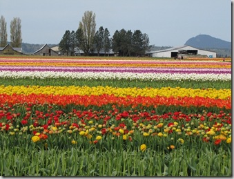
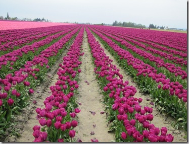
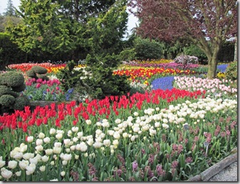
I started my Washington visit in Anacortes, WA.  It is on Fidalgo Island and is about 80 miles north of Seattle.  The main reason that I wanted to get here a bit earlier than most tourist (it’s still a bit cold) was the Skagit Valley Tulip festival. I had seen pictures of this and it looked amazing.  Even though I ended up getting to Anacortes later than I expected I did get to see the tulips.  It was amazing, thousands or perhaps millions of tulips blooming.  To see the tulips you can walk through the fields or visit a garden.  I did both.

The gardens were display gardens for bulb companies.

The fields of tulips are there for the bulbs, not the flowers.  Actually once a few flowers start aging just a tiny bit, they pluck (or deadhead) every flower of that variety so all that’s left are the leaves and stems.  They do this to keep out infection. 


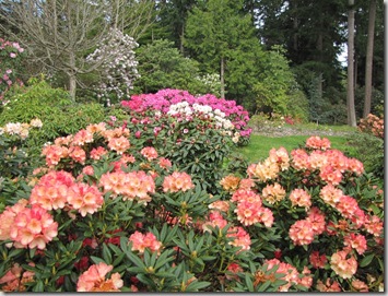
I hope you like flowers, because there are more.  I also visited the Meerkerk Rhododendron Gardens.  I was there a couple of weeks before peak, but it was still nice.

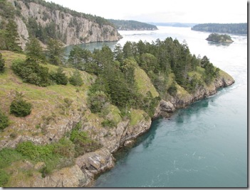
I did a little bit of hiking in Deception Pass State Park.  This park has a great bridge between Fidalgo and Whidbey Island.
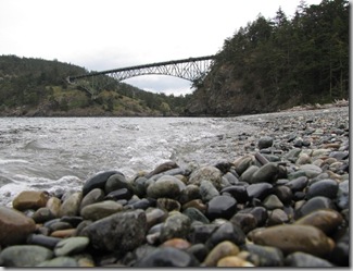
The picture below was taken from the bridge.  

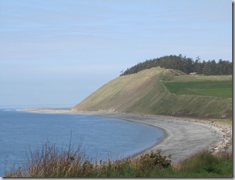
I also did some hiking around Ebby’s landing.  I hiked along the beach for a few miles.  I also hiked the trail that you can see that leads up the cliff.  I’ll post pictures of that hike in my next blog - part 2 of Anacortes.

I got to see a lot of farms- flowers, crops and shellfish.  Below is a mussel farm.

IMG_0071

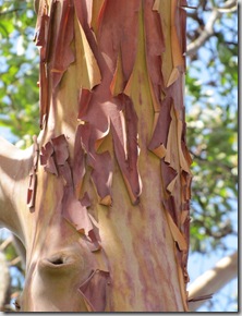
They have a very interesting tree, a Madrona tree.  It has orange/reddish bark that as the tree gets older peels off and leaves a shiny finish to the wood.  Actually the above picture of the Mussel farm is framed by Madronas.
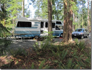
   As mentioned above, it is still a bit cold here.  And as expected it has been quite rainy.  I had found a campground that had great reviews with people commenting on the park-like setting.  So I made a reservation there. Well it was beautiful – big trees, ferns…  But when it’s cold and rainy you really don’t want to be under lots of trees.  You want somewhere that gets what little sunshine there is – at least that’s what I want.  The sun that is on my RV below is the only sun that my RV would see during the day and it lasted for less than an hour!  So I stayed at this park for a week, but then moved 2.7 miles to a park on the Bay with no trees.  More on that in part 2 of Anacortes.
Thursday, April 15, 2010

The drive from Southern California to Washington

Well, I finally left California.   The drive from Southern California to Washington was interesting.  Hopefully no more earthquakes!

I started in the High Desert and ended up in an area with cedar, fir and spruce trees.  In between I went through the Raisin capital of the world, the Olive capital of the world and the Grass Seed capital of the world. Wow, a lot of capitals!

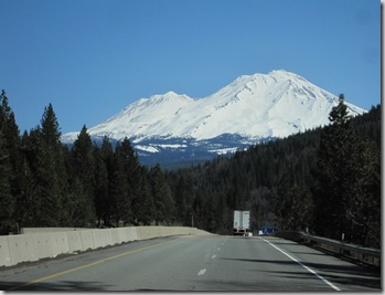
Before looking at the next pictures, you need to remember that I am from Georgia so snow is not something I saw very often.  I couldn’t get used to the snow and the mountains -

IMG_4501 

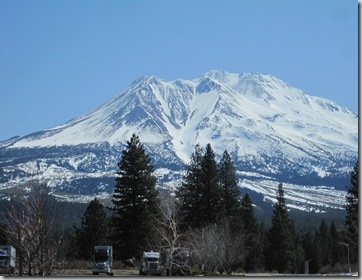
The following was taken from a truck stop.  I’d love to have a view like this out my door.  Wait, I guess I do – my view is everywhere I travel!

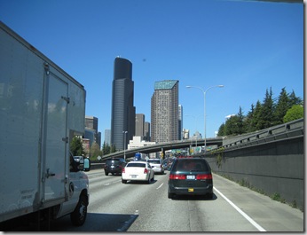
IMG_4508Just a couple of days ago, I saw some traffic on TV and thought that I had been extremely lucky in my travels because I had not hit any bad traffic.  Well, that was before I got to Tacoma and Seattle.  I had been warned and had read that the traffic in that area can be bad.  But I was arriving on a Sunday and didn’t think it would be bad.  Wow, was I wrong.  The picture below of stop and go traffic was taken about noon on Sunday. 

IMG_4532  According to my GPS, it only delayed me about 8 minutes but I couldn’t believe there was that much traffic on a Sunday.  I haven’t figured out when I will leave but I definitely don’t want to leave during rush hour. 

As some of you know I had hoped to catch the tulip festival.  On driving to the campground I went about a block away from some  fields.  Fields of Pink, Purple, yellow and red.  I guessed they were tulips, but wasn’t close enough to tell.  More on my visit to the tulips and other things in the area later--

Monday, April 5, 2010

LaQuinta, CA – again

As I mentioned before, I went back to Lake Cahuilla County Park in LaQuinta.  This time I stayed for 2 weeks. 

Everyday (except 1), I walked once or twice around the lake (2.5 or 5 miles) – what a great way to start the day!

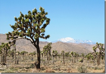
While there I visited several places.  I went back to Joshua Tree National Park.  The blooms still were not at their peak bloom, but further along than before.

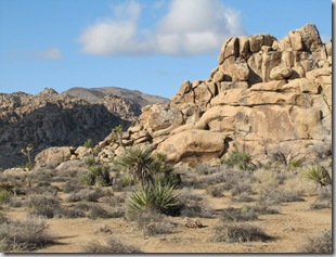
I also did some hiking.  My favorite trail was Hidden Valley.

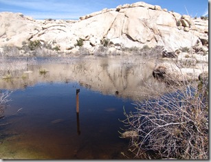
During another hike, I thought this was funny.

The trail was under about a foot of water.  You can see in the lake the sign that points where the trail is and you can see the rocks under the water that lined parts of the trail.  Apparently they have had more rain this year than normal. 

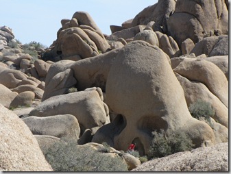
Another hike I did was skull rock.  The trail was interesting, but not marked well and I had to backtrack a couple of miles. 

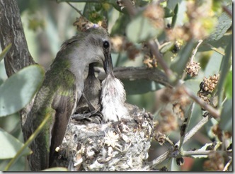
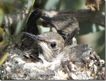
I also went back to the Desert Living Museum.  Remember the picture of the hummingbird?  I took that about 3 weeks before the picture below.  This is the same bird feeding her baby hummingbirds.  They make their nest out of all kind of things and I thought it was cute that it now has a small flower on it.  I was told by a volunteer who walked up while I was there that the babies were about 2.5 weeks old.   


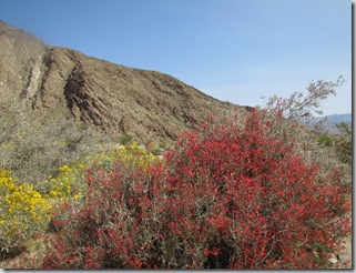
Another day, I went to Anza-Borrego Desert State Park.  I took a couple of hikes that day.  The wildflowers were beautiful. 

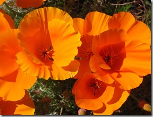
One day I drove to the mothership.  For you non-Lazy Daze owners, that’s the name that some people who own Lazy Daze RVs call the Lazy Daze Plant.  After picking up a few parts, I drove to Antelope Valley Poppy Reserve.  Either it’s not at peak or this isn’t a great year.  But it was still great.


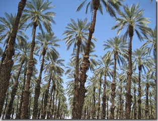
This area is known for dates (the fruit).  Below is a date farm.  Note the ladders they permanently attach to the upper part of the palms so they can get the dates.

My plans were to leave here and start heading up north, but the weather in North California and Southern Oregon did not think this was a good idea.  The weather at one of the passes that I would have to go through was not good – snow!  So I decided to delay for a few days and wait out the weather.  I ended up back in Desert Hot Springs, where as I wrote yesterday I experienced the earthquake.  There have been many aftershocks, with several large ones.  I think I felt one earlier this morning, but it is so windy I’m not sure. 

Hopefully I’ll leave here on Wednesday and head north.

Sunday, April 4, 2010

Earthquake!

Just wanted to let you know that I got to experience an earthquake today.  It’s extremely  windy and when it hit, I was sitting in the RV.   At first I thought it was the wind but then I realized this was different, more jerky than the wind.  I didn’t think too much about it, but then I saw on the news it was an earthquake.

I’m currently back in Desert Hot Springs, CA and it was an 7.2 earthquake in Baja California (it hit about 19 miles SE of Mexicali).  I am about 120 miles from there.  According to a report on-line there were “strong shaking was reported in Cochella Valley and Riverside” and that’s the area I’m in. 

I’ll report on my recent Lake Cahuilla visit in a day or 2.