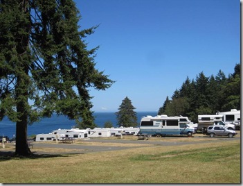
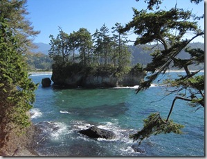
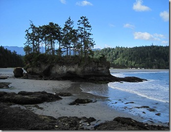
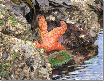
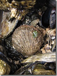
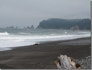
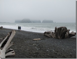
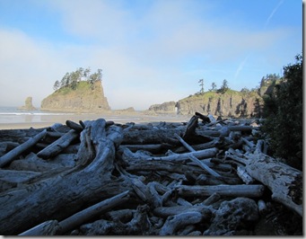
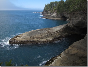
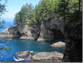
From Salt Creek, I went to Sequim, WA for a week and a half. Then I went back to Salt Creek. I visited more of the Olympic National Park and spent a couple of days at Hurricane Ridge.

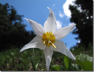
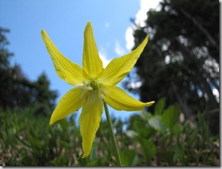
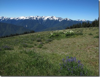 Many wildflowers were blooming while I was there. Below is an Avalanche Lily.
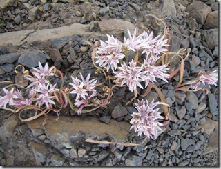
I don’t know what the above flowers were, but while taking this picture my water bottle fell out of my pack and about 30 feet down the trail. Of course there were signs all around saying not to walk off the trail as it damages the plants. Luckily for me there was a park volunteer at the end of the trail, so I told her and she walked back with me and very carefully walked down and got the bottle.
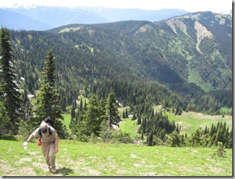 I hope she didn’t kill too many plants!
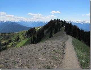
The trail had great views from all sides.
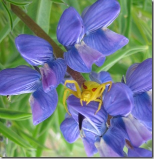 While hiking, I noticed this yellow thing on a lupine. After taking several pictures I kept on down the trail. A short while later I ran into a ranger and he told me that it was a Yellow Crab Spider.
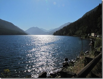
While driving around, I got stuck one time because of road construction on Hwy 101 at Lake Crescent. As a sign had warned that it could be a 20 minute wait, I got out and was looking around. Shortly after the man behind me got out of his truck and started fishing in the lake. I guess if you have to get stuck in road construction, it’s good to be at a pretty lake. You can see the guy fishing on the far right hand side, with all the other vehicles behind him.
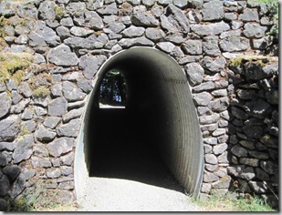
 One of the hikes I did in the area was to Marymere falls. The falls were ok, but what I found most interesting was the tunnel under the road.
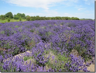
 While in Sequim, I went to the Sequim Lavender festival. They had an arts and crafts festival (with lot’s of things made with lavender) and they had tours of the lavender farms.
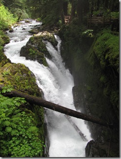
Another trail I did was to Soleduck Falls. It was a nice hike and a beautiful water fall. The water flows into a gorge, so it’s a bit difficult to get a good picture.
 On the trail, I ran across a lot of the flowers below. I forget their name, but I know they are in the dogwood family.
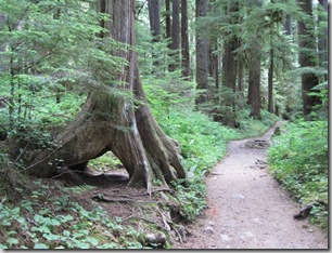
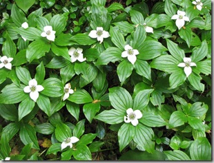 At just about every ranger led hike I’ve been on around here they talk about nurse logs. On the trail to Soleduck Falls is a good example of a tree that grew on a nurse log and the nurse log has since decayed. (At least that’s my guess!)
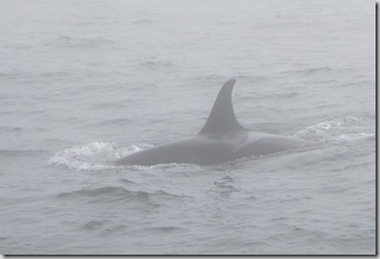
 I drove to Port Townsend for a day and took a cruise to one of the San Juan Islands, Friday Harbor. On the way we took a side trip to look for orcas. Unfortunately I decided to get sea sick. I never used to get sea sick, but over the last several years I’ve noticed this more and more. I had taken a Dramamine, but it didn’t help. It was a very foggy day and the captain warned us that we may not see any whales because you could barely see 10 feet in front of the boat, but we did. Fortunately for me, I got sick just before we saw the whales and just after.
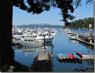
 Afterwards, we went to Friday Harbor. Most people went to lunch and went shopping, but I went to the grocery store and got some crackers. Then after taking a short walk I found a small park and just watched what was going on at the marina.
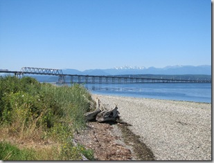
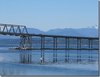
 One day, I drove to a bridge across the Hood Canal. This bridge is the third longest floating bridge in the world, it is the longest that is on tidal water. The tide can fluctuate up to 18 feet, so the bridge has to be able to move up and down that much. While on the bridge you couldn’t tell it was floating.
My next stop is Mt. Rainier. I’ll post that in a few days.
