Thursday, October 17, 2013

Amarillo, TX

I decided to stop in Amarillo, TX on the way back to Georgia because I wanted to go back to Palo Duro Canyon which is just south of Amarillo.  Unfortunately, I got there during a 3-day heat wave in early October.  I was hoping for mid-70’s, but I got mid to high 80’s and wind. 

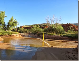
I headed to Palo Duro in the morning and decided to drive around the park before hitting the trail I wanted to hike – mistake number 1 (I should have started hiking when it was cooler).  They have had a good bit of rain recently so some of the typically dry water crossings along the road had water in them.   (At least they have been dry the other 3 times I have been there)

ama_palo_duro_canyon_first_water_crossing

Because of water and mud, one of the crossings was closed so I could not do the loop I had hoped to drive and had to backtrack a bit.


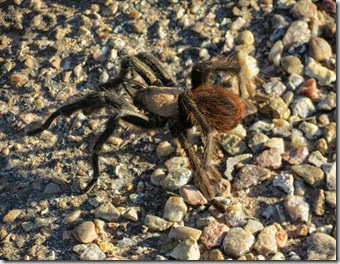
As I headed to the Lighthouse Trail, I saw something crossing the road.  I had to stop and get a closer look.

It was a Tarantula!!  I don’t think I have ever seen one outside of zoos.  This one had a body of about 2 – 3 inches, add on the legs and it was probably 5 – 6 inches long.  A ranger stopped while I was looking and verified it was a Tarantula and mentioned that they were harmless. 

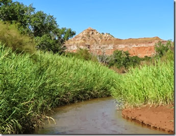
When I finally got to the Lighthouse trail it was about 10:00 and starting to get hot.  There was a sign warning about the heat, but I decided to head on.  It is about 5 miles and I figured if  it got too hot I would turn around.  After 15 minutes or so, I knew I would not make it all the way, but went on as I wanted to get closer to one of the rocks/cliffs I could see.

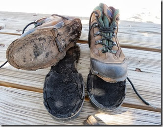
I got to the base of the cliff in the middle of the picture above and explored a bit.  While exploring, I felt something weird on my hiking boot.  I looked at my foot and the sole of my boot was coming off.  So between the heat and my boots, I realized I was not meant to hike this trail that day.  After only 1/2 mile or so of hiking, I slowly started back.  The sole came off fairly quickly and I was walking on the material that connects to the sole.  Then the other boot sole started coming off.  Before I got to the end of the trail, I was walking on moccasin-like soles and carrying the thick rubber soles of both of my boots.  I could feel rocks, so I walked very carefully.   But I figured it was my fault.  A few months ago I decided to leave my boots in the car so I would always have them if I found a neat place to hike.  Mistake number 2.  I think the car got so hot that it ruined the boots.

I had to head out the next day, so the Lighthouse trail will have to wait for a cooler day some other time!!

On the way out, I had to stop for one last picture --

From Amarillo, I took a couple of days and headed to Petit Jean State Park in Arkansas where I found some great scenery and trails! 
Sunday, October 13, 2013

Colorado Springs, CO -- Part 2

One day I decided to drive up Pikes Peak.  I did this several years ago when part of the road was still dirt.  It is now paved all the way to the top.  A few days after I drove up, I heard on the news that the road up would be closed for a while so that they could do some filming for Fast and Furious – Number 7 ( I think it was 7??).    I would have hated to drive there and find that it was closed!!.

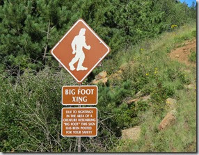
Driving up, you not only get great views of scenery but also have a chance of seeing wildlife.  Below is a sign warning of some of the local wildlife!!

cos_pikespeak_bigfoot

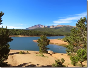
Above is the Crystal Creek Reservoir with Pikes Peak behind the lake. 

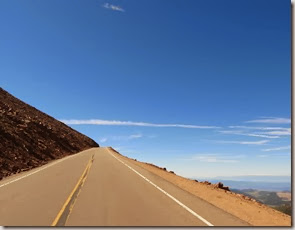
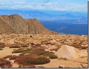
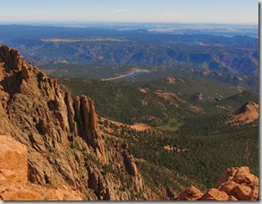
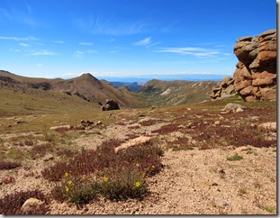
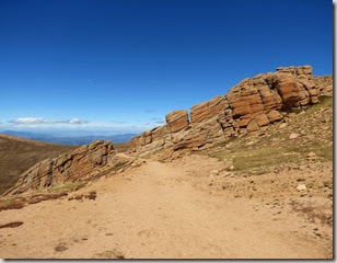
Since it is paved, it isn’t as scary as it was last time I drove up.  A couple of shots from stops along the road are below--

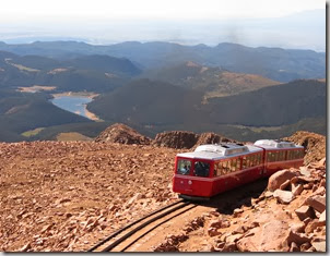
I was only at the top about 15 minutes.  I did see the cog train on it’s way up.  A few years ago I took the train up, but I enjoy the drive better. 

cos_pikespeak_cogwheeltrain

On the way down, I stopped at one place and did a short hike.

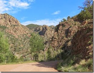
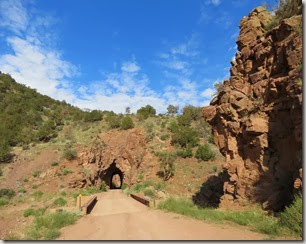
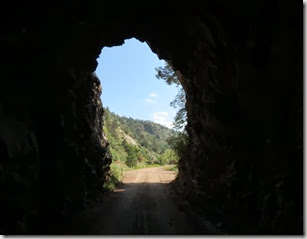
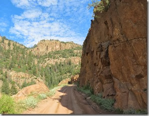
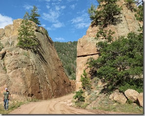
Another day, I drove through Phantom Canyon which was at one time a railroad route.  It is now a dirt road that in most places is too narrow for 2 cars.  Just my type of scenic drive!!  

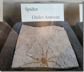
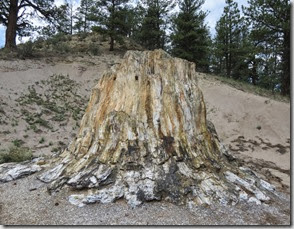
From Phantom Canyon, I drove through Cripple Creek.  I had planned on stopping and exploring a bit, but the day I went they were having a huge motorcycle festival with 1000’s of motorcycles and while I was there a parade was going on.  So I decided not to stop.  I went on to the Florissant Fossil Bed National Monument.  They have found a lot of fossils in the shale rocks and they also have petrified wood.


In the Big Stump below, you can just make out 2 saw blades where people tried to cut the petrified wood many years ago. (the blades kind of look like eyes on the stump)

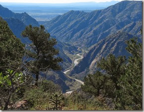
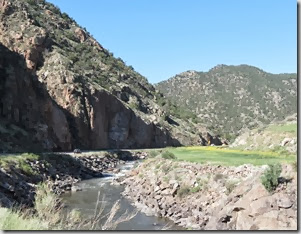
I visited the Royal Gorge Park area several years ago and again this year.  But this past spring they had a wildfire and it destroyed all of the Royal Gorge Park buildings so the park is closed.  The pictures below were taken from the one road in the area that is still open.   I liked the picture below because you can see that just months after the fire wildflowers are blooming and life is coming back to the area.

If you look closely or expand the picture above you can see a train just about in the center of the photo.

From Colorado Springs, I am slowly taking my time in going back to Georgia.  A couple of people had suggested I stop at the Balloon Festival in New Mexico.  I want to do that sometime, but I decided not to do it this year.  I stopped in Amarillo, TX for a couple of days, then I will take a couple of days to get to Petit Jean State Park in Arkansas.  I’ll blog about those later. 

Wednesday, October 9, 2013

Colorado Springs, CO–Part 1

My original plans were to be in Colorado Springs for one month (mid-August to mid-September).  But I liked where I was, so I stayed until the end of September at Mountaindale Cabins and RV Resort which is about half way between Colorado Springs and Canon City.  It has a Colorado Springs address, but I was about 25 minutes from the closest grocery store and 30 minutes from a Walmart (my judge for how far out in the boonies I am!). 

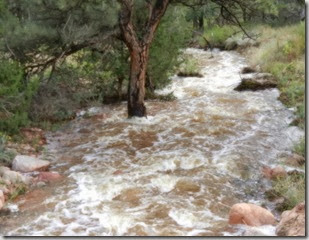
As I mentioned in my previous blogs, I was there during the floods that messed up many places in Northern Colorado.  My campground was in a hilly area, but didn’t have much flooding.  In my spot a lot of water washed by my RV.  My water hose was completely covered with water and mud.   The picture below was taken from the route  I walked most mornings.  It is a drainage ditch, but a local man I talked to a few times said he had not seen water in it for 8 or 9 years. 

Much flooding occurred because the culverts (like the black one in the bottom left corner of this picture) became blocked.  This one became partially blocked and the water flooded over the dirt road creating big ruts in the road.  The road was unusable for a couple of days until the campground and local people fixed the road and culvert.  Below was taken from the other side of the road.

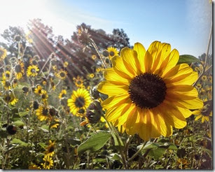
During my morning walk, I would walk a loop around the campground and back roads.  I would usually walk 3 to 4.5 miles.  In September the flowers were great.

cos_cmpgrnd_walk

On my morning walks, I passed a small farm that had a goat in a little house.  I would talk to the goat when I passed by and most mornings he would answer.  I’m glad nobody was around to see or hear me say “Good morning, Goat – BAAAAAH”  (Is that how you spell what a goat sounds like?).  I don’t know if when he answered he was saying “Good morning” or “Leave me alone”, but I decided it was Good morning!!

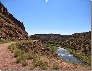
The first few weeks I was in Col. Springs, it was rather warm.  As I have gotten older the heat seems to bother me more.  One day, I went for a walk along the Tunnel Drive trail in Canon City (pronounced like Canyon).  I walked about 4 miles, ending around 11:00 am and it was in the mid-80’s.  When I got back to my car I was so hot that I had to rest a bit before driving off.  The trail was in full sun, but I should have known better and started earlier  -- I did have water.  The trail has 3 tunnels that you walk through and on the way back, I slowed down while walking through the tunnels and enjoyed the shade.  In addition to the heat, the bugs were quite bad.  Notice in the picture below you can see some type of bug on the left side of the picture!  It kind of looks like a bird, but if you click on the picture you can tell it is a bug. The picture was taken trying to get 2 of the 3 tunnels and the river, the bug was photobombing!

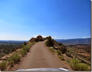
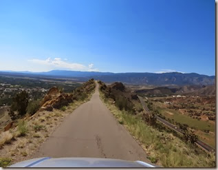
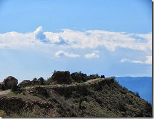
Also in Canon City is Skyline Drive.  This is just a short one-way road built on the top of some hills, but for a short distance there are just a few feet on each side of the road. 

cos_skylinedr2

cos_skylinedr3

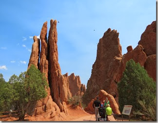
One of my favorite hikes in the area was at the Red Rocks Open space in Colorado Springs.  This is similar to the Garden of the Gods, but not near as many people. 

In the picture above, you can see the formation of red rocks goes for a distance and surrounds a road which leads to the Garden of Gods park.

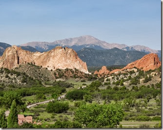
And of course, I visited the Garden of Gods park a few times.  This park has both paved and unpaved trails.  I enjoyed the paved trails on days after rains to avoid muddy trails.  


Above is one of the entrances to the Garden of the Gods, with Pikes Peak in the background.

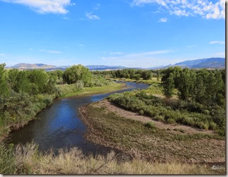
Several times, I enjoyed walking along the Riverfront trail in Canon City.  Below is one of the views from that trail --

When it was too hot to hike or walk, I enjoy scenic drives. The main road through Canon City leads through the San Isabel National Forest, I really enjoyed it.

I stopped and watched the boaters for a while.

Occasionally I see RV’s painted a bit differently than normal.  The RV below was in the campground and it appears on some type of tour for Breast Cancer Month (October).

Stay tuned for part 2 of Colorado Springs.